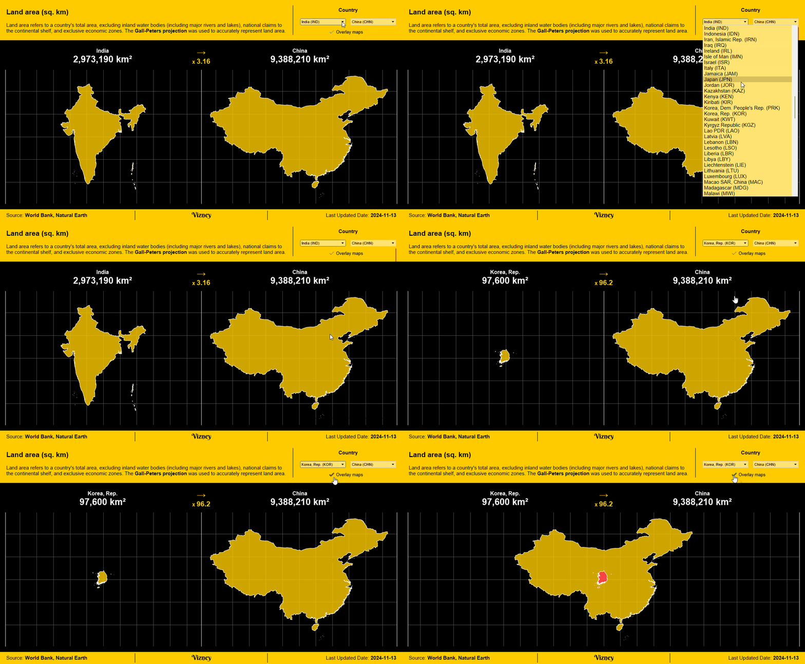
Land Area
This dashboard allows you to view and compare the land areas of countries around the world.

Definition
Land area is a country's total area, excluding area under inland water bodies, national claims to continental shelf, and exclusive economic zones. In most cases the definition of inland water bodies includes major rivers and lakes.
💡
The Mercator projection, commonly used for world maps, has a significant distortion that exaggerates the size of areas as they get closer to the poles.
To accurately compare land areas, this dashboard uses the Gall-Peters projection. As a result, the shapes of countries near the polar regions, such as Russia and Canada, may appear different from the familiar representations.
To accurately compare land areas, this dashboard uses the Gall-Peters projection. As a result, the shapes of countries near the polar regions, such as Russia and Canada, may appear different from the familiar representations.
Source
World Bank Open Data
Free and open access to global development data

Natural Earth - Free vector and raster map data at 1:10m, 1:50m, and 1:110m scales

Used Tips & Tricks
How to Create Parameter Buttons in Tableau
This approach helps improve the limited parameter UI, making it more intuitive and user-friendly.

How to Disable Selection Highlighting in Tableau
This is how you can prevent the blue shading highlight that appears when selecting a specific area on a dashboard for interaction.


